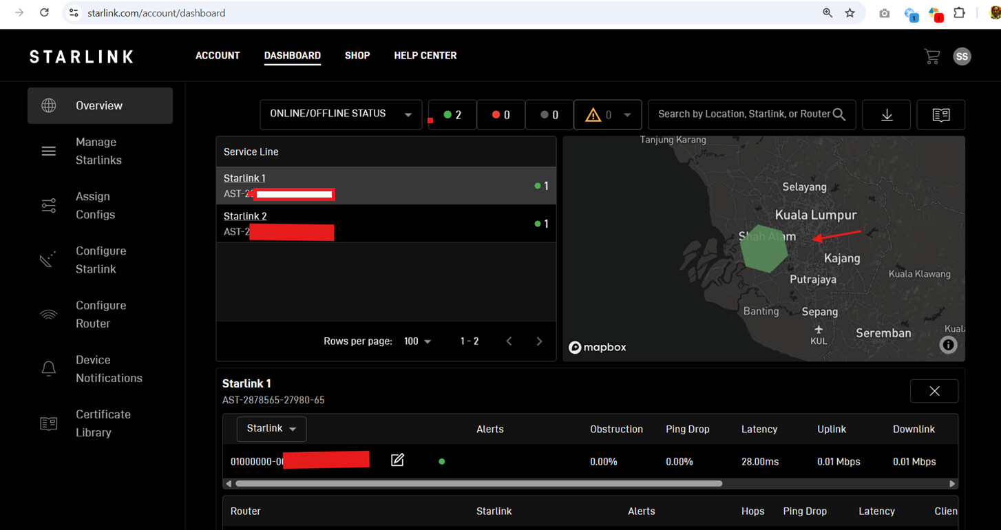
I suppose it should be similar to what we’ll find in the Starlink account.
I should have included this information in my previous reply so everyone has better context on the H3 resolution. I think this helps make the use case more understandable from the engineering perspective.
I think it’s still useful, but it should be display as h3cellid, shown on the map with a h3 hex drawn around it, and an optional google maps link to the coordinates. (H3 cellid approximant , lat/lon) as an example.
Further is the h3cellid available via GRPC or only via v2 starlink api?
It’s important that it’s not relied on and look at like accurate gps.
@Jonathan_Pitts , The location information is only available via the Starlink API. Could you share more details about your use case and how this information would help with your deployment?
@sitloongs We will use in deployment to find asset locations.
Not all of our previous deployments were with peplink that had gps.
Such as b one, br1 mini 5g, br1 mini core.
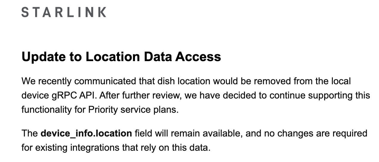
Looks like enough feedback was raised to the Starlink team, and they have decided to continue supporting location data access for Priority service plans.
Could you please check and confirm whether you have also received a similar notification from Starlink?
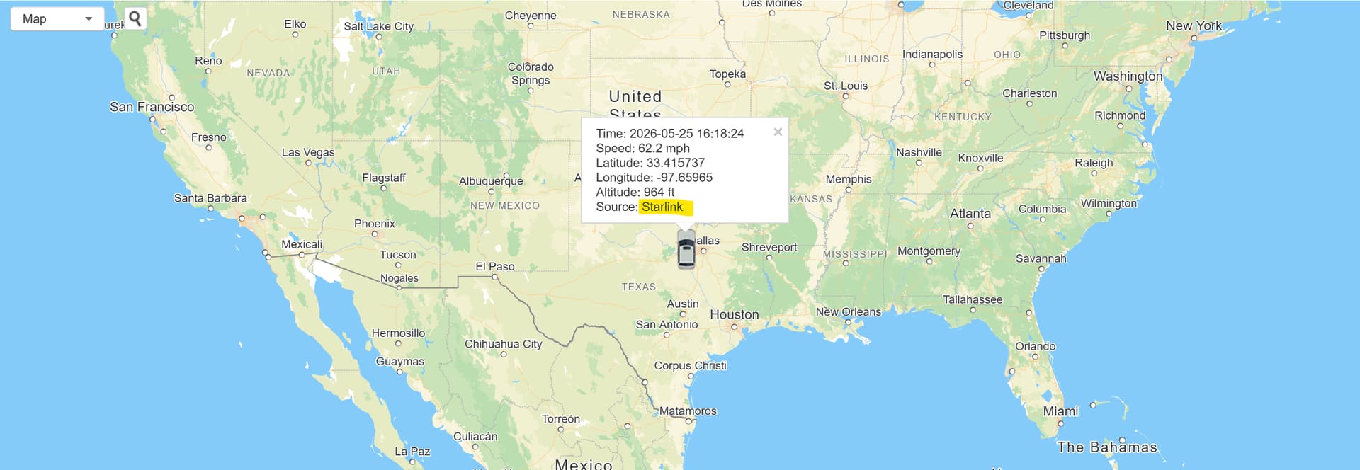
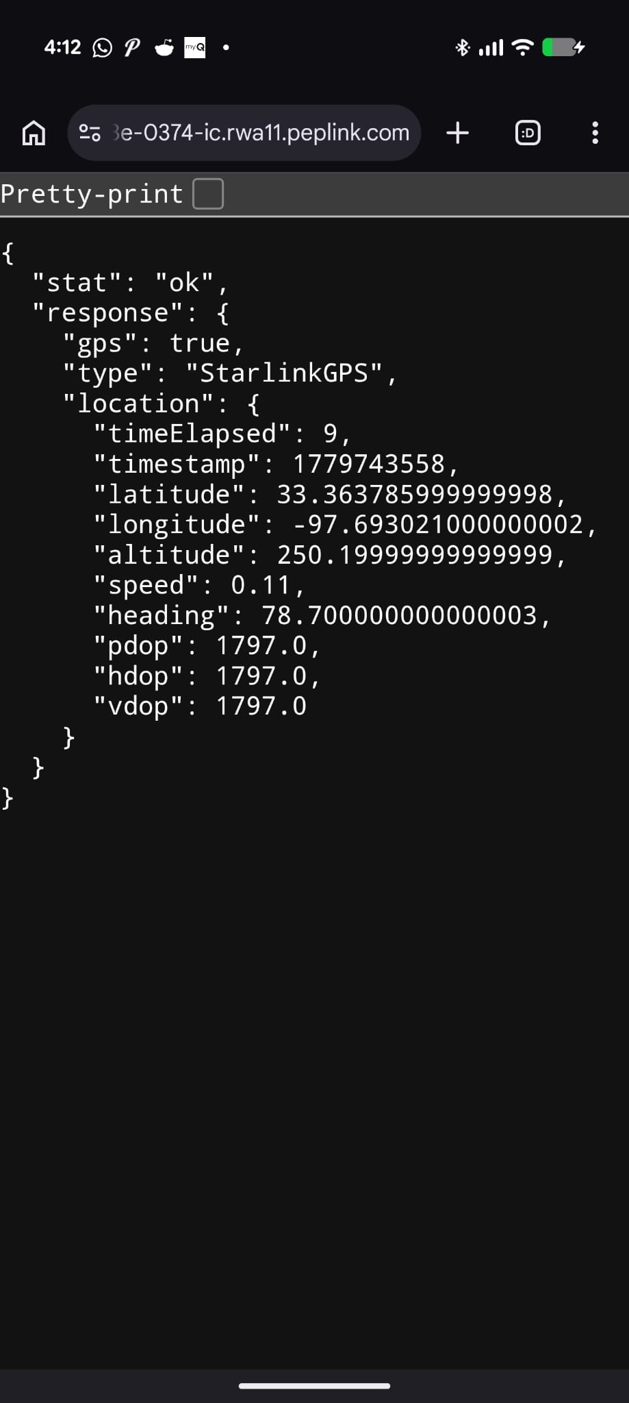
After Starlink disabled the GPS network feed that the B One 5G in my motorhome used, I worked with Claude code to build a fairly low priced GPS module to provide a network GPS data source. I already had a mobility 42g antenna on the roof for the external GPS antenna.
My use case is NOT business critical, so I didn’t want to go with the more expensive service plan.
It works great in my situation, so I put it on Github in case it helps anyone else.
Hello @NovaBandit,
Welcome to the Peplink Community Forum
Thanks for your very constructive solution on the GPS and putting this together, I’m sure other Peplink integrators and users will find this helpful in the future.